Updates

March 12, 2019
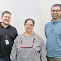
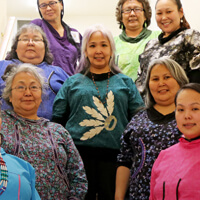
AVCP and DOWL hosted a Tribal Gathering – Project Status Report Meeting in Bethel. The purpose of the gathering was to invite a representative from each tribe from the communities in the project area and to report the progress of the project. Stage I and II (project reports were presented by CH2M Hill/Mike McKinnon). DOWL was introduced and reported out on Stage III of the project. The second meeting, led by DOWL, will be held in November 2018. The purpose of the gathering will be to report the progress of Stage III.
May 23, 2019
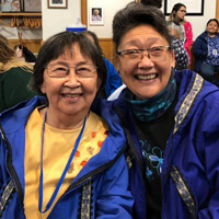
AVCP and DOWL Hosted a meeting with Grayling, Anvik, Shageluk, and Holy Cross in Anchorage, Alaska, to discuss the project status of the YK Freight & Energy Corridor Project. Other stakeholders in attendance included, Tanana Chiefs Conference and Doyon Limited.
Useful Resources

TIMELINE


FAQs
Frequently Asked Questions
A: A transportation corridor is a linear area in which one or more modes such as a railroad, canal, road, trail, pipeline, or utility provides for transport of goods and people.
A: The Yukon-Kuskokwim Freight and Energy Corridor project looks at developing a practical link between the Yukon and Kuskokwim River systems that will enhance travel amongst communities in the region. The proposed corridor will allow for trade (fuel and freight), and access to public facilities and other modes of transportation within the Yukon- Kuskokwim Delta.
A: No. The Corridor Project and the Donlin Gold Project are not related projects. If Donlin Gold Mine is developed, Donlin has stated it will build its own transportation infrastructure.
A: During Stage I and Stage II planning process, AVCP developed a public involvement plan identifying key stakeholders and communities located in the project area conducting a series of public meetings during Stage I and II; a project website to provide ongoing information on project development; and has provided presentations at the Tanana Chiefs Conference (TCC), AVCP Annual Conference, Bureau of Indian Affairs (BIA) Annual Providers Conference, the Alaska Federation of Natives (AFN) and to others on request. Input was gathered during each presentation. Stage III planning continues the ongoing outreach effort. The planning team will be meeting with key stakeholders, traveling to communities in the project area, and conducting local interviews to document place names. The last phase of Stage III will include efforts to identify and get input from stakeholders who may not have had the opportunity to be involved during Stage I and II. A future NEPA environmental document phase will be based on public input received during Stage I, II, and III. Throughout the planning process, public input has been used to incorporate local knowledge, local preferences and important places into project development. This is one reason AVCP, a tribal organization with long experience in these aspects of project development was asked by Kalskag to be the lead agency for this planning phase.
A: The initial project review was funded by the Denali Commission, Stage II and III phases, the Corridor Plan development have been funded by State of Alaska grants to AVCP.
A: Construction is estimated at $100 to $150 million.
A: This project is in the planning stage. It is anticipated that this project may be practical in 10-20 years. The design and environmental work will take two to five years to complete. Construction will take three to four years. The design and construction could take 10 or more years to complete based on the region’s ability to secure funding for design and construction.
A: The proposed Corridor will cross/access State, Native Corporation, and/or BLM lands. It will not cross native allotments or restricted lands.
A: Barge traffic would likely increase on both rivers due to both population and economic growth. In depth fuel and freight transport modeling and analysis will be developed as the project moves into the NEPA phase.
A: The project proposes a barge port with sheet pile bulkhead or pile-supported wharf with trestle and an upland staging area with storage on the Yukon and Kuskokwim Rivers termini. A 6″ to 8″ diameter pipeline is also being considered for port-to-port operations. The pipelines will be thick-walled and buried to reduce maintenance. Current estimates identify 12.5 million gallons tank farm at each end for storage and operational needs. The tanks will contain refined products including diesel and gasoline.
A: AVCP will not own or operate the port and storage facilities. This is an employment/entrepreneurial opportunity for the region and should be explored further. Tribes or corporation may choose to be involved in operating and maintaining the port facilities. Associated fees with docking and shipping would be designed to offset operation and maintenance costs.
A: Typically, whoever owns the road will maintain the road. The State of Alaska may be the owner; a regional port authority could also be developed to maintain the road ports and pipeline through a Memorandum of Understanding, or the communities located in the project area could develop a MOU for maintenance responsibilities.
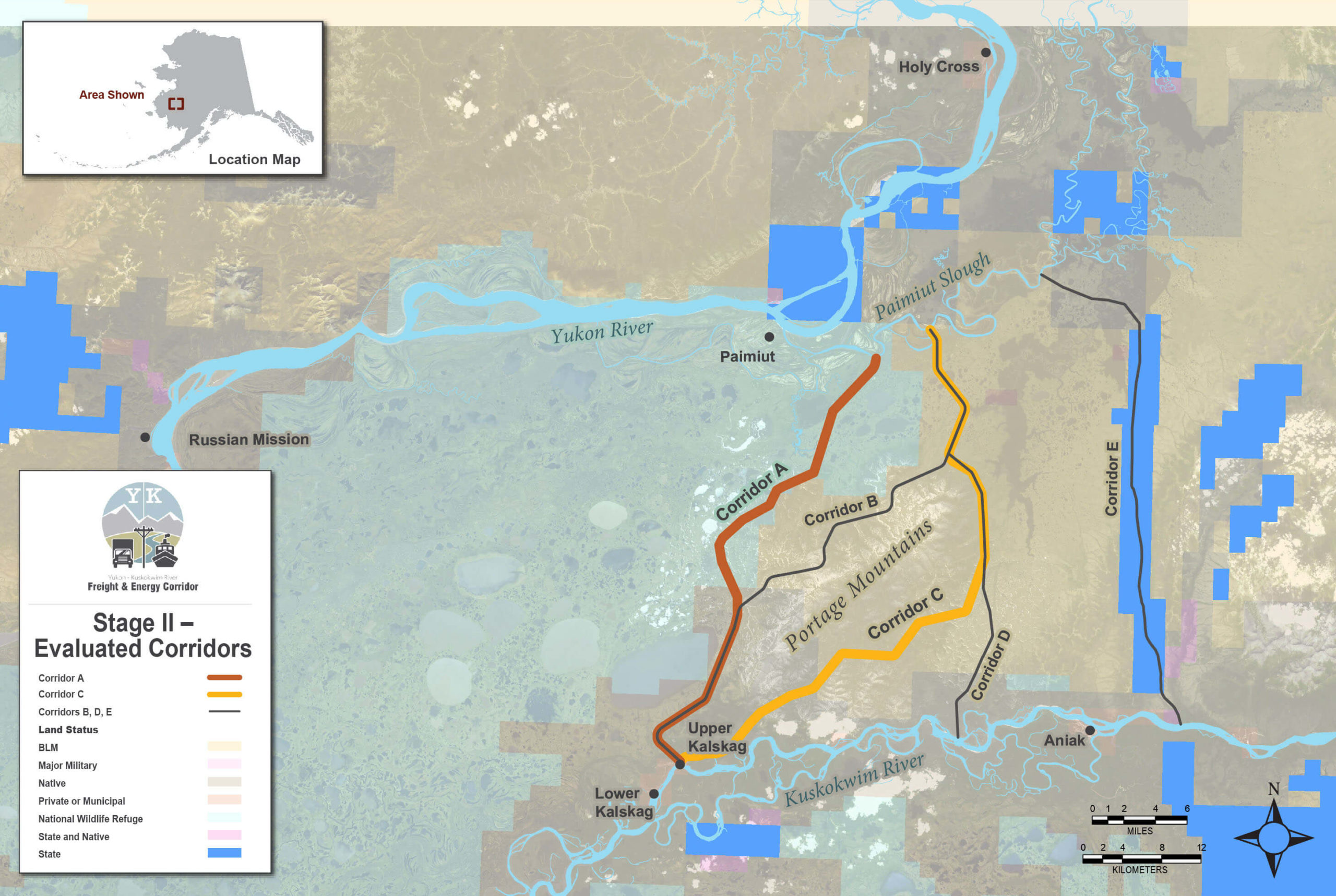
A: The local use overland waterway and tram cannot be improved because the navigation is impractical due to infill and other changes to waterways. It was this finding that the route was not serviceable as a local transportation link between the rivers that led to discussions about revisiting the proposed roadway that ran along the west side of the Portage Mountains. This corridor identified at Corridor A was discounted early in project planning due to conflicts with the area’s wildlife management priority, but a necessary pre-NEPA task is to document that finding more fully.
A: Yes. Hydrology studies and bathometric measurements indicate barge access is practical.
A: The transfer point is the key issue for transporting fuel safely and responsibly. The planning team is evaluating historic fuel spills along the Yukon and Kuskokwim Rivers and a key pre-NEPA task is to identify and evaluate best management practices for port operations, including those associated with site specific conditions at Paimiut Slough.
A: The planning team evaluated all practical routes between the rivers, finding that Corridor C, a route along the eastern flank of the Portage Mountains was best from engineering, environmental, and local use standpoints. The 44-mile route begins just upriver of Kalskag, traverses the east Portage Mountains foothills, and continues north across lowlands to a port site on Paimiut Slough, along a surveyed “dry” route. Although Route C is currently designated as the preferred alternative, all the alternatives will be evaluated as part of the NEPA environmental document phase and the preferred status is subject to change.
A: All the resources including salmon, non-salmon fish, moose, caribou, bear, furbearers, small land animals, marine animals, upland game birds, water fowl, berries, plants and wood, are included in the subsistence study.
A: Erosion is always a factor along rivers and the port/barge landing will include design features that control on site erosion or soil degradation.
